Home
States
Colorado
Connecticut
Maine
Massachusetts
New Hampshire
New York
Rhode Island
Utah
Vermont
View All
Lists
NE 4,000 Footers
NE 100 Highest
NH 4,000 Footers
NH 100 Highest
NH 52 With A View
NH Belknap Range
NH Ossipee 10
Links
Trail Conditions
Trip Log
Sunrises
Sunsets
About
|
Piper Mountain, Belknap Mountain
Gilford, NH
Trailheads, measurements, times, distances, and maps are all approximate and relative to the hike(s) as shown below.
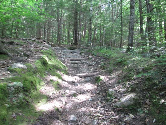
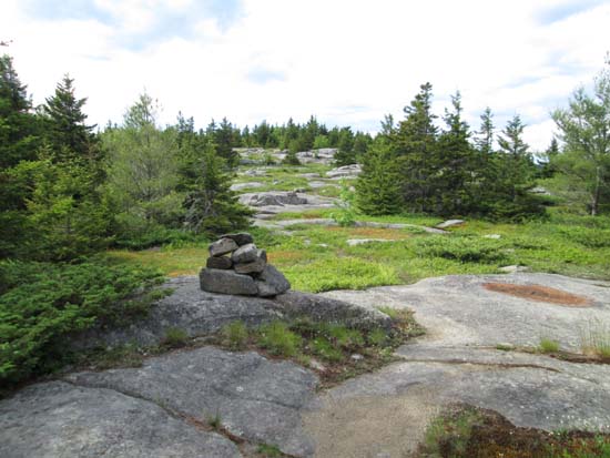
Looking up the Piper Mountain Trail
Route: Piper Mountain Trail, green blazed trail, (Piper Mountain), green blazed trail, Old Piper Trail, White Trail, (Belknap Mountain), Blue Trail, Carriage Road
Trails were generally dry and in good shape. Not sure if I encountered any mud at all. Temperatures around 80 with increasing clouds. Blueberries are starting to form (ie "them are too green"), so only a few more weeks until blue ones start popping.
| Hike Ratings |
|
Getting To Trailhead: |
Easy |
| Destination: |
Piper Mountain |
|
Length: |
Moderate |
|
Steepness: |
Moderate |
|
Navigation: |
Easy |
|
Views: |
Excellent |
|
Crowds: |
Minimal |
| Destination: |
Belknap Mountain |
|
Length: |
Moderate |
|
Steepness: |
Difficult |
|
Navigation: |
Easy |
|
Views: |
Excellent |
|
Crowds: |
Minimal |
|
| Hike Stats |
|
Date Hiked: |
Monday, June 23, 2014 |
| Parking Elevation: |
1,030' |
| Destination: |
Piper Mountain |
| Time Elapsed: |
00:29 |
| Trailhead Elevation: |
1,010' |
| Summit Elevation: |
2,044' |
| Vertical Gain: |
1,064' |
| Destination: |
Belknap Mountain |
| Time Elapsed: |
00:30 |
| Trailhead Elevation: |
2,044' |
| Summit Elevation: |
2,382' |
| Vertical Gain: |
592' |
|
|
| Hike Time Elapsed: |
01:38 |
| Hike Vertical Gain: |
1,686' |
|
The Piper Mountain Trail trailhead on the Carriage Road
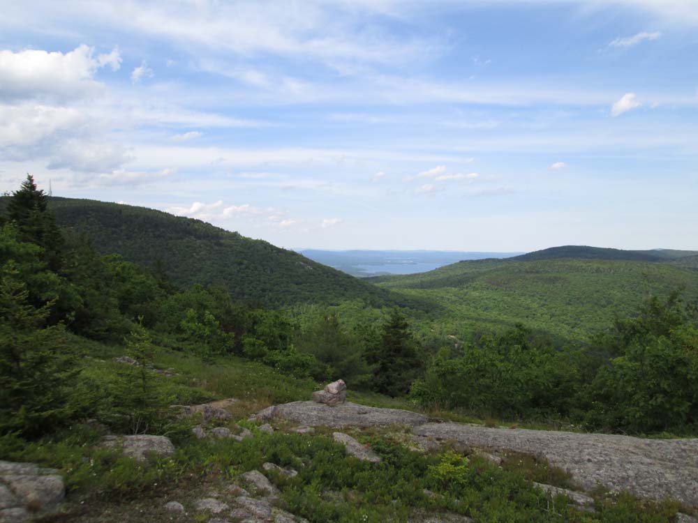
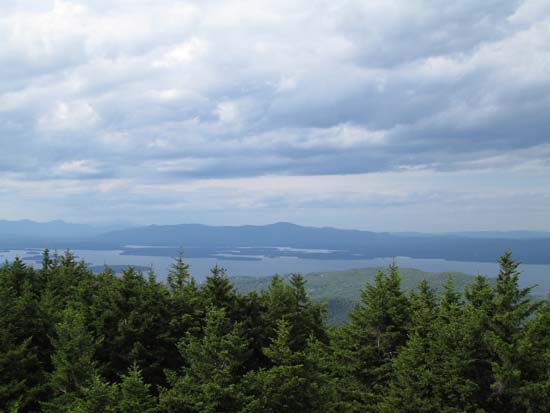
Looking at Lake Winnipesaukee from near the summit of Piper Mountain
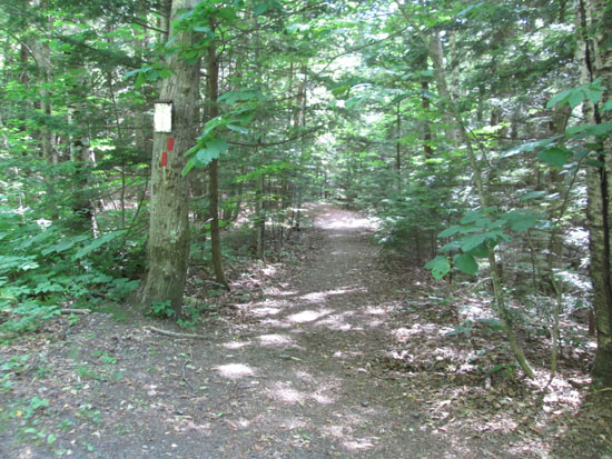
The Green Trail on the way to Belknap Mountain
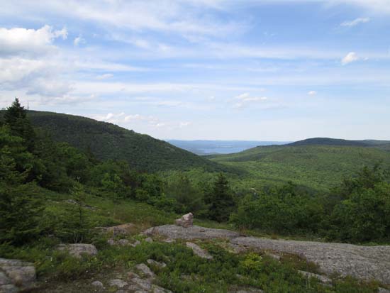
Looking at the Ossipee Range from the Belknap Mountain fire tower
Directions to trailhead: From Route 11A East (from Route 3), take a right on Hoyt Road. Continue down this road as it becomes Belknap Mountain Road. Look for Carriage Road on your left. There is a small parking lot just before the gate. Trailhead is down the road a bit, on the right after a small bridge.
Back to Piper Mountain Profile
Back to Belknap Mountain Profile
|