Home
States
Colorado
Connecticut
Maine
Massachusetts
New Hampshire
New York
Rhode Island
Utah
Vermont
View All
Lists
NE 4,000 Footers
NE 100 Highest
NH 4,000 Footers
NH 100 Highest
NH 52 With A View
NH Belknap Range
NH Ossipee 10
Links
Trail Conditions
Trip Log
Sunrises
Sunsets
About
|
Scar Ridge (West Peak), Scar Ridge (Middle Peak), Scar Ridge (East Peak)
Lincoln, NH, Livermore, NH
Trailheads, measurements, times, distances, and maps are all approximate and relative to the hike(s) as shown below.
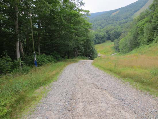
Looking down the access road
Ascended to top of gondola via access road that starts from the easternmost part of the ski area base area. From top of gondola, followed the Sunset ski trail to the top of the North Peak quad, then hopped into the woods a little downhill at the high yellow ski area boundary sign onto bootleg ski trail. Took that for maybe 15 minutes to a sharpish turn left, then started bushwhack.
Eventually approached West Scar Ridge from the west southwest. Next, headed slightly north on a herd path, which we had most of the way to east West Peak.
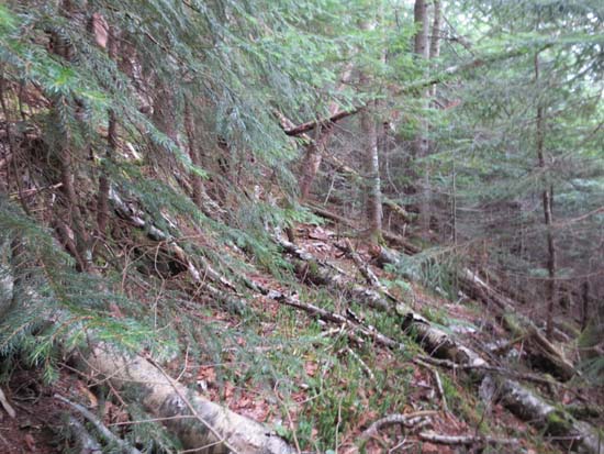
Thick descent in places of east West Peak, but things opened up (relatively) as we neared the col. Climb up Middle wasn't too thick.
Thereafter, we dropped down and eventually hit an old logging road around 3,200 feet on the north side of the ridge, which we took for awhile (slight descent), then went almost directly up East Peak. Very thick amongst the top 100 or so vertical. Blowdown city all over the height of that ridge. Took awhile to find the recognized highpoint (previous peaks we walked right into), but eventually found it on the northeast side of the bump.
Descent intially was herdpathy, but then became very thick and steep for awhile. Eventually hit an old logging road, which we used for a good 15 minutes until we hit some nice hardwoods briefly. Then, climbed over a small ridge (back into spruce) and went due east to hit the East Pond Trail at maybe 2700 feet. Smooth sailing from there out.
| Hike Ratings |
|
Getting To Trailhead: |
Easy |
| Destination: |
Scar Ridge (East Peak) |
|
Length: |
Moderate |
|
Steepness: |
Moderate |
|
Navigation: |
Very Difficult |
|
Views: |
Minimal |
|
Crowds: |
Minimal |
| Destination: |
Scar Ridge (Middle Peak) |
|
Length: |
Very Difficult |
|
Steepness: |
Difficult |
|
Navigation: |
Very Difficult |
|
Views: |
Minimal |
|
Crowds: |
Minimal |
| Destination: |
Scar Ridge (East Peak) |
|
Length: |
Very Difficult |
|
Steepness: |
Difficult |
|
Navigation: |
Very Difficult |
|
Views: |
Minimal |
|
Crowds: |
Minimal |
|
| Hike Stats |
|
Date Hiked: |
Sunday, August 5, 2012 |
| Parking Elevation: |
990' |
| Destination: |
Scar Ridge (West Peak) |
| Time Elapsed: |
04:44 |
| Trailhead Elevation: |
1,000' |
| Summit Elevation: |
3,774' |
| Vertical Gain: |
3,074' |
| Destination: |
Scar Ridge (Middle Peak) |
| Time Elapsed: |
01:21 |
| Trailhead Elevation: |
3,774' |
| Summit Elevation: |
3,500' |
| Vertical Gain: |
250' |
| Destination: |
Scar Ridge (East Peak) |
| Time Elapsed: |
02:57 |
| Trailhead Elevation: |
3,500' |
| Summit Elevation: |
3,610' |
| Vertical Gain: |
510' |
|
|
| Hike Time Elapsed: |
11:44 |
| Hike Vertical Gain: |
3,844' |
|
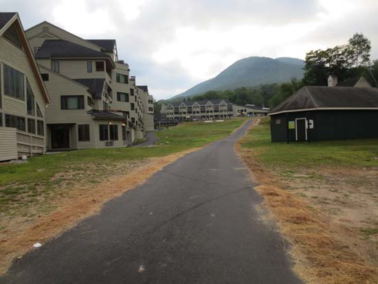
The bottom of the access road

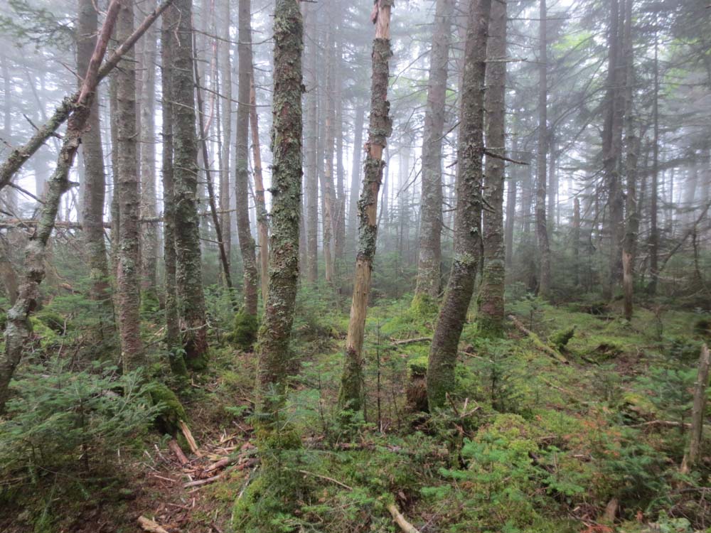
Scar Ridge West Peak
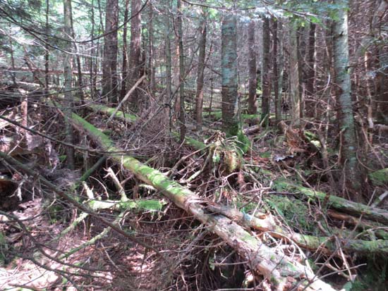
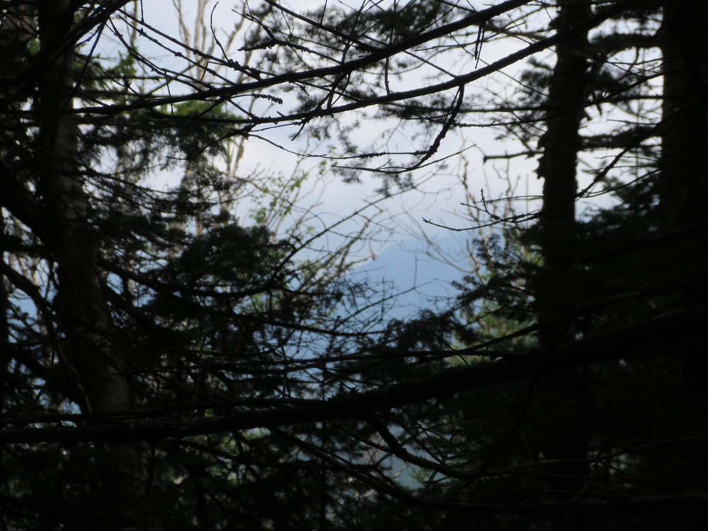
Bushwhacking between East West Peak and Middle Peak

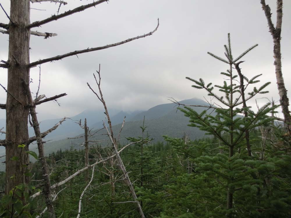
Scar Ridge Middle Peak
An old logging road between Middle and East

Scar Ridge East Peak
Back to Scar Ridge (West Peak) Profile
Back to Scar Ridge (Middle Peak) Profile
Back to Scar Ridge (East Peak) Profile
|