Home
States
Colorado
Connecticut
Maine
Massachusetts
New Hampshire
New York
Rhode Island
Utah
Vermont
View All
Lists
NE 4,000 Footers
NE 100 Highest
NH 4,000 Footers
NH 100 Highest
NH 52 With A View
NH Belknap Range
NH Ossipee 10
Links
Trail Conditions
Trip Log
Sunrises
Sunsets
About
|
Wildcat C, Wildcat B, Wildcat A, Wildcat D
Pinkham's Grant, NH, Bean's Grant, NH
Trailheads, measurements, times, distances, and maps are all approximate and relative to the hike(s) as shown below.
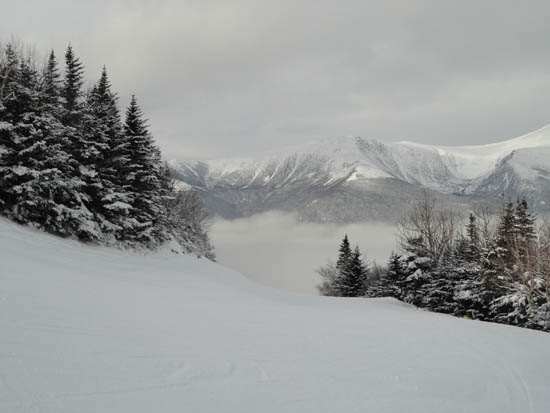
Looking down Polecat on the way to Wildcat C
Route: Stray Cat, Middle Polecat, Upper Polecat, bushwhack, Wildcat Ridge Trail, (Wildcat C), Wildcat Ridge Trail, (Wildcat B), Wildcat Ridge Trail, (Wildcat A), Wildcat Ridge Trail, (Wildcat B), Wildcat Ridge Trail, (Wildcat C), Wildcat Ridge Trail, (Wildcat D), Wildcat Ridge Trail, Upper Polecat, Middle Polecat, Stray Cat
With another so so day weatherwise, we headed to Wildcat. Starting from the C lot, we headed up a series of novice ski trails, then ducked into the woods near the top turn of the Polecat ski trail. Dropping onto the Wildcat Ridge Trail shortly thereafter, we continued down into the col, then up to Wildcat C, from where there were no views due to the light snow flurries.
Wildcat B was also socked in, however Wildcat A had slight views direction down into the notch.
Since we had skipped Wildcat D on the way in, we hit it on the way out, fortunately getting moderate views from the recently rebuilt observation deck.
| Hike Ratings |
|
Getting To Trailhead: |
Easy |
| Destination: |
Wildcat C |
|
Length: |
Moderate |
|
Steepness: |
Difficult |
|
Navigation: |
Difficult |
|
Views: |
Minimal (due to weather) |
|
Crowds: |
Heavy |
| Destination: |
Wildcat B |
|
Length: |
Difficult |
|
Steepness: |
Difficult |
|
Navigation: |
Easy |
|
Views: |
Minimal (due to weather) |
|
Crowds: |
Moderate |
| Destination: |
Wildcat A |
|
Length: |
Difficult |
|
Steepness: |
Difficult |
|
Navigation: |
Easy |
|
Views: |
Minimal (due to weather) |
|
Crowds: |
Minimal |
| Destination: |
Wildcat D |
|
Length: |
Moderate |
|
Steepness: |
Difficult |
|
Navigation: |
Easy |
|
Views: |
Moderate (due to weather) |
|
Crowds: |
Minimal |
|
| Hike Stats |
|
Date Hiked: |
Sunday, January 30, 2011 |
| Hike Commenced: |
8:17 AM |
| Parking Elevation: |
1,950' |
| Destination: |
Wildcat C |
| Ascent Commenced: |
8:17 PM |
| Summit Reached: |
10:29 AM |
| Time Elapsed: |
02:12 |
| Trailhead Elevation: |
1,950' |
| Summit Elevation: |
4,285' |
| Vertical Gain: |
2,515' |
| Destination: |
Wildcat B |
| Ascent Commenced: |
4:17 PM |
| Summit Reached: |
4:42 PM |
| Time Elapsed: |
00:25 |
| Trailhead Elevation: |
4,285' |
| Summit Elevation: |
4,305' |
| Vertical Gain: |
195' |
| Destination: |
Wildcat A |
| Ascent Commenced: |
4:43 PM |
| Summit Reached: |
4:58 PM |
| Time Elapsed: |
00:15 |
| Trailhead Elevation: |
4,305' |
| Summit Elevation: |
4,422' |
| Vertical Gain: |
182' |
| Destination: |
Wildcat D |
| Ascent Commenced: |
12:36 PM |
| Summit Reached: |
1:42 PM |
| Time Elapsed: |
01:06 |
| Trailhead Elevation: |
4,422' |
| Summit Elevation: |
4,062' |
| Vertical Gain: |
609' |
|
|
| Hike Ended: |
7:19 PM |
| Hike Time Elapsed: |
05:31 |
| Hike Vertical Gain: |
3,501' |
|
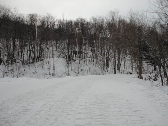
The end (beginning) of Stray Cat next to the Tomcat Triple Chairlift
Cloud as seen from Wildcat C
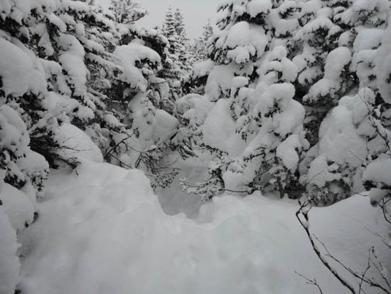
Wildcat Ridge Trail to Wildcat B
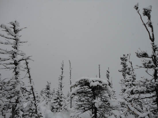
Cloud as seen from Wildcat B
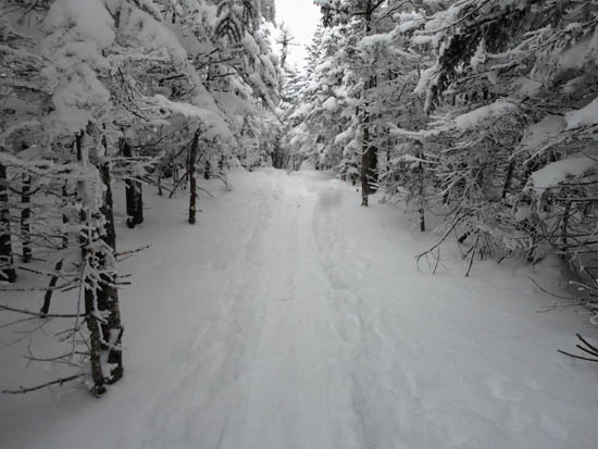
Wildcat Ridge Trail to Wildcat A
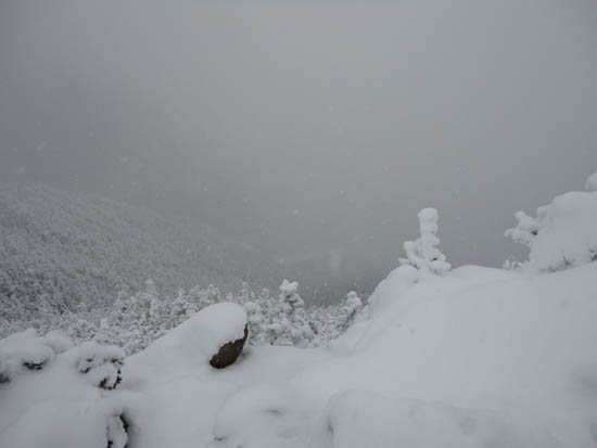
Cloud as seen from Wildcat A
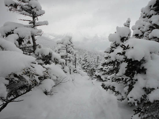
Wildcat Ridge Trail to Wildcat D
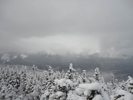
Obscured views toward the Presidentials from the Wildcat D observation deck


Directions to trailhead: Take Route 16 North from Jackson past the Wildcat Ski Area main entrance. The C Lot access road is the next right, with trailside parking at the end of the road.
Back to Wildcat C Profile
Back to Wildcat B Profile
Back to Wildcat A Profile
Back to Wildcat D Profile
|