Home
States
Colorado
Connecticut
Maine
Massachusetts
New Hampshire
New York
Rhode Island
Utah
Vermont
View All
Lists
NE 4,000 Footers
NE 100 Highest
NH 4,000 Footers
NH 100 Highest
NH 52 With A View
NH Belknap Range
NH Ossipee 10
Links
Trail Conditions
Trip Log
Sunrises
Sunsets
About
|
Wildcat C, Wildcat B, Wildcat A, Wildcat D
Pinkham's Grant, NH, Bean's Grant, NH
Trailheads, measurements, times, distances, and maps are all approximate and relative to the hike(s) as shown below.
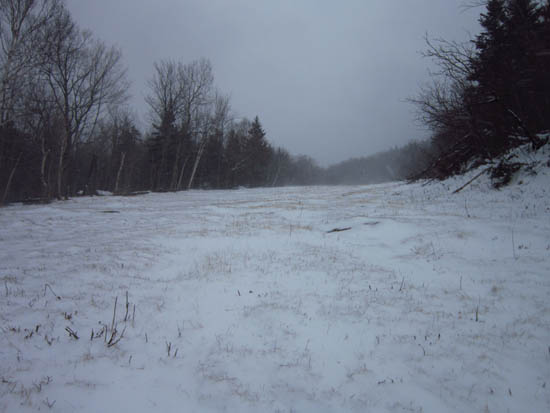
Nearly bare ground on ski trails that haven't seen snowmaking yet
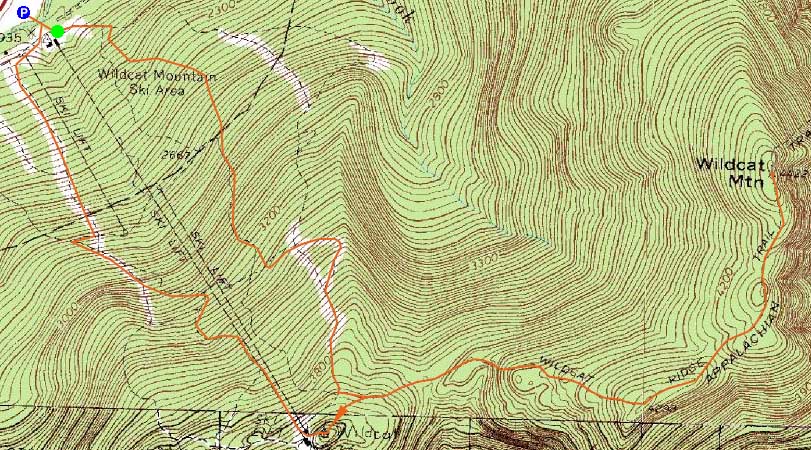
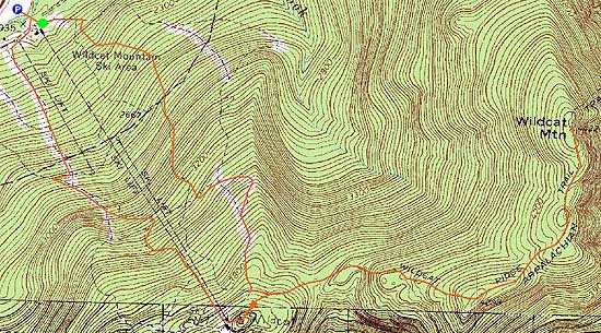
Route: Ski trails, bushwhack, Wildcat Ridge Trail, (Wildcat C), Wildcat Ridge Trail, (Wildcat B), Wildcat Ridge Trail, (Wildcat A), Wildcat Ridge Trail, (Wildcat B), Wildcat Ridge Trail, (Wildcat C), Wildcat Ridge Trail, (Wildcat D), Wildcat Ridge Trail, ski trails
Christmas afternoon hike. Biting winds up high. Not enough snow for snowshoes on the ridge.
| Hike Ratings |
|
Getting To Trailhead: |
Easy |
| Destination: |
Wildcat C |
|
Length: |
Moderate |
|
Steepness: |
Difficult |
|
Navigation: |
Difficult |
|
Views: |
Minimal (due to weather) |
|
Crowds: |
Minimal |
| Destination: |
Wildcat B |
|
Length: |
Difficult |
|
Steepness: |
Difficult |
|
Navigation: |
Easy |
|
Views: |
Minimal (due to weather) |
|
Crowds: |
Minimal |
| Destination: |
Wildcat A |
|
Length: |
Difficult |
|
Steepness: |
Difficult |
|
Navigation: |
Easy |
|
Views: |
Minimal (due to weather) |
|
Crowds: |
Minimal |
| Destination: |
Wildcat D |
|
Length: |
Moderate |
|
Steepness: |
Difficult |
|
Navigation: |
Easy |
|
Views: |
Minimal (due to weather) |
|
Crowds: |
Minimal |
|
| Hike Stats |
|
Date Hiked: |
Sunday, December 25, 2011 |
| Parking Elevation: |
1,960' |
| Destination: |
Wildcat C |
| Time Elapsed: |
01:54 |
| Trailhead Elevation: |
1,950' |
| Summit Elevation: |
4,285' |
| Vertical Gain: |
2,515' |
| Destination: |
Wildcat B |
| Time Elapsed: |
00:15 |
| Trailhead Elevation: |
4,285' |
| Summit Elevation: |
4,305' |
| Vertical Gain: |
195' |
| Destination: |
Wildcat A |
| Time Elapsed: |
00:10 |
| Trailhead Elevation: |
4,305' |
| Summit Elevation: |
4,422' |
| Vertical Gain: |
182' |
| Destination: |
Wildcat D |
| Time Elapsed: |
01:03 |
| Trailhead Elevation: |
4,422' |
| Summit Elevation: |
4,062' |
| Vertical Gain: |
609' |
|
|
| Hike Time Elapsed: |
04:03 |
| Hike Vertical Gain: |
3,511' |
|
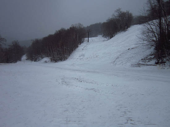
The end (beginning) of Polecat next to the summit quad chairlift
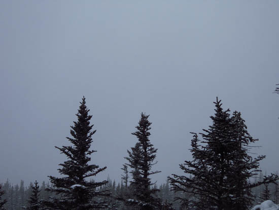
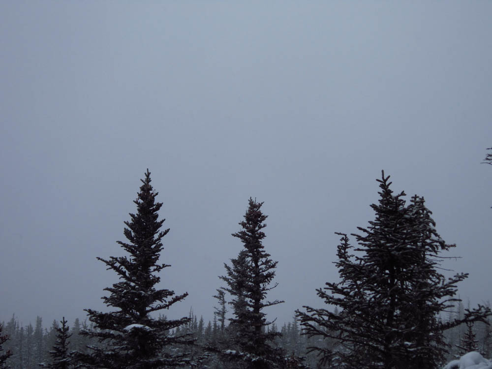
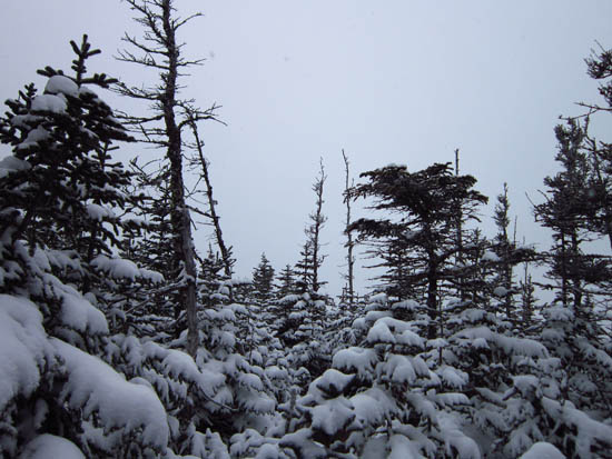
Cloud as seen from Wildcat C
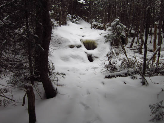
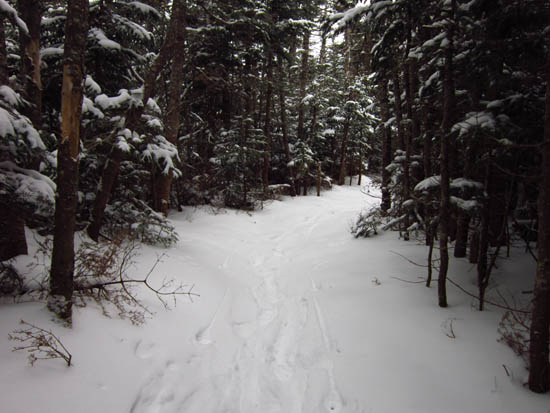
Wildcat Ridge Trail to Wildcat B
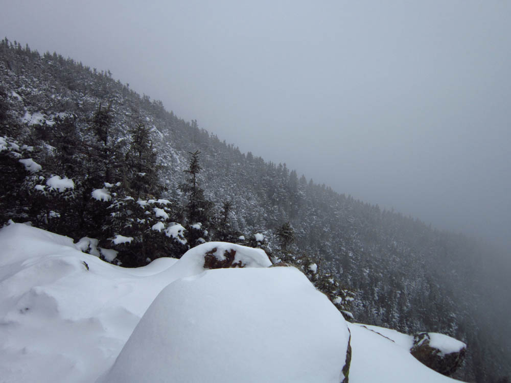
Cloud as seen from Wildcat B
Wildcat Ridge Trail to Wildcat A
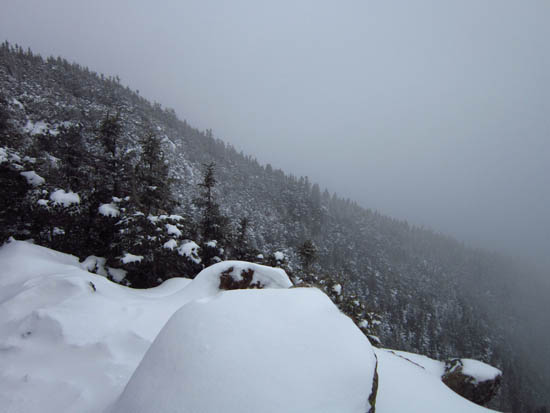
Cloud as seen from Wildcat A
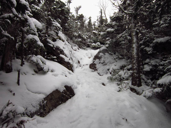
Wildcat Ridge Trail to Wildcat D
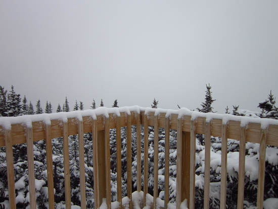
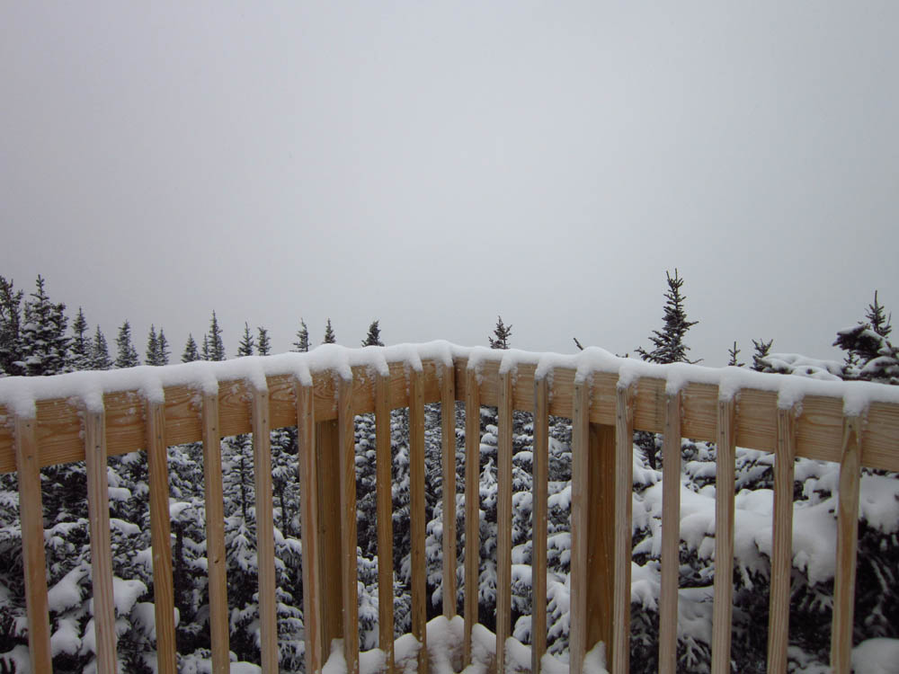
Cloud as seen from the Wildcat D observation deck

Directions to trailhead: Take Route 16 North from Jackson to the Wildcat Ski Area main entrance.
Back to Wildcat C Profile
Back to Wildcat B Profile
Back to Wildcat A Profile
Back to Wildcat D Profile
|