Home
States
Colorado
Connecticut
Maine
Massachusetts
New Hampshire
New York
Rhode Island
Utah
Vermont
View All
Lists
NE 4,000 Footers
NE 100 Highest
NH 4,000 Footers
NH 100 Highest
NH 52 With A View
NH Belknap Range
NH Ossipee 10
Links
Trail Conditions
Trip Log
Sunrises
Sunsets
About
|
Wildcat C, Wildcat B, Wildcat A, Wildcat D
Pinkham's Grant, NH, Bean's Grant, NH
Trailheads, measurements, times, distances, and maps are all approximate and relative to the hike(s) as shown below.
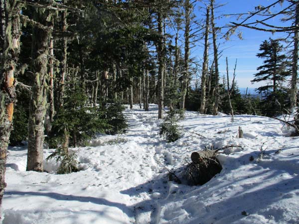
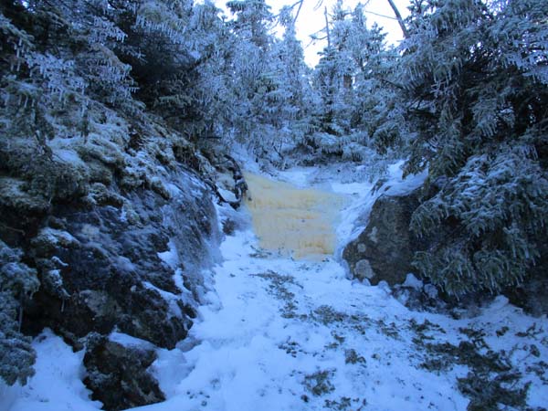
Polecat on the way to Wildcat C
Route: Stray Cat, Cat Nap, Middle Polecat, Upper Polecat, bushwhack, Wildcat Ridge Trail, (Wildcat C), Wildcat Ridge Trail, (Wildcat B), Wildcat Ridge Trail, (Wildcat A), Wildcat Ridge Trail, (Wildcat B), Wildcat Ridge Trail, (Wildcat C), Wildcat Ridge Trail, (Wildcat D), Wildcat Ridge Trail, Upper Polecat, Middle Polecat, Stray Cat
Took the closed Straycat and Catnap ski trails (perimeter trails that link with Polecat) to avoid ski traffic. Someone barebooted this in the warmer temps, leaving some large postholes. This type of etiquette can result in hikers as a whole losing uphill access to ski areas. Wore snowshoes the entire time, in part for traction as there were some ice bulges on the closed trails. Ski conditions on open trails didn't seem as bad as expected.
Took the bushwhack from the top pitch of Polecat onto the Wildcat Ridge Trail. Wildcat Ridge Trail has generally 2 to 3 feet of snow pack with a few short areas with less (monorail) and some deeper drifts. Good, but loud, snowshoeing on the ridge. Some booters were generally only sinking 2-3 inches, but had some knee and hip deep postholes as well. Two problematic bulge ice bulges - just below C and below A. In both cases, snowshoes allowed us to bushwhack around the bulges. Microspikes would be outmatched for safe passage.
Did the scrappy bushwhack to the awesome ledges on C, perhaps the best views on the Wildcats. Snowpack in the woods is firm enough for excellent bushwhacking with snowshoes.
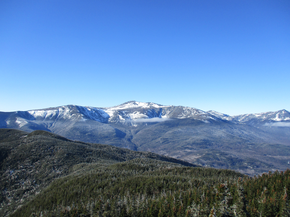
Brisk but clear weather. Presidentials lost a tremendous amount of snowpack and look very rocky at the moment.
| Hike Ratings |
|
Getting To Trailhead: |
Easy |
| Destination: |
Wildcat C |
|
Length: |
Moderate |
|
Steepness: |
Difficult |
|
Navigation: |
Difficult |
|
Views: |
Excellent |
|
Crowds: |
Heavy |
| Destination: |
Wildcat B |
|
Length: |
Difficult |
|
Steepness: |
Difficult |
|
Navigation: |
Easy |
|
Views: |
Minimal |
|
Crowds: |
Minimal |
| Destination: |
Wildcat A |
|
Length: |
Difficult |
|
Steepness: |
Difficult |
|
Navigation: |
Easy |
|
Views: |
Excellent |
|
Crowds: |
Minimal |
| Destination: |
Wildcat D |
|
Length: |
Moderate |
|
Steepness: |
Difficult |
|
Navigation: |
Easy |
|
Views: |
Excellent |
|
Crowds: |
Moderate |
|
| Hike Stats |
|
Date Hiked: |
Sunday, January 14, 2018 |
| Parking Elevation: |
1,960' |
| Destination: |
Wildcat C |
| Time Elapsed: |
02:01 |
| Trailhead Elevation: |
1,950' |
| Summit Elevation: |
4,285' |
| Vertical Gain: |
2,515' |
| Destination: |
Wildcat B |
| Time Elapsed: |
00:19 |
| Trailhead Elevation: |
4,285' |
| Summit Elevation: |
4,305' |
| Vertical Gain: |
195' |
| Destination: |
Wildcat A |
| Time Elapsed: |
00:24 |
| Trailhead Elevation: |
4,305' |
| Summit Elevation: |
4,422' |
| Vertical Gain: |
182' |
| Destination: |
Wildcat D |
| Time Elapsed: |
01:36 |
| Trailhead Elevation: |
4,422' |
| Summit Elevation: |
4,062' |
| Vertical Gain: |
609' |
|
|
| Hike Time Elapsed: |
05:33 |
| Hike Vertical Gain: |
3,511' |
|

Mt. Washington as seen from the ledge near the summit of Wildcat C
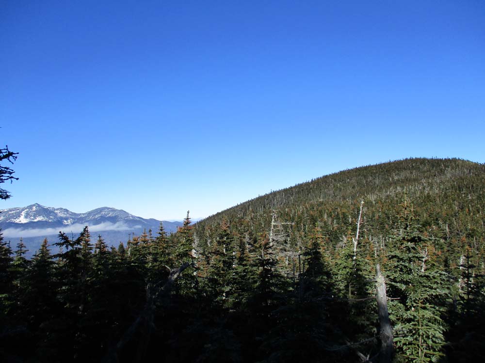
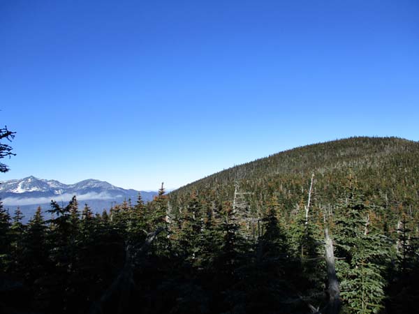
Wildcat Ridge Trail to Wildcat B
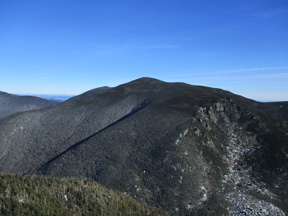
Wildcat A as seen from near the summit of Wildcat B
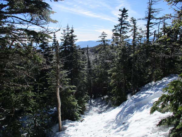
Wildcat Ridge Trail to Wildcat A
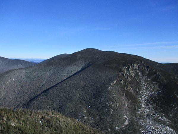
Carter Notch from Wildcat A
Wildcat Ridge Trail to Wildcat D
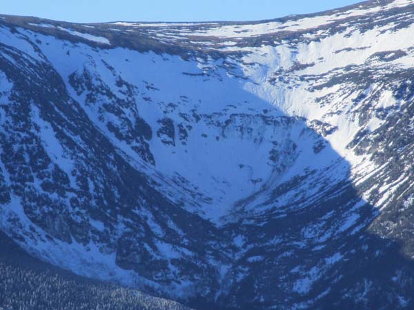
Tuckerman Ravine as seen from Wildcat D
Directions to trailhead: Take Route 16 North from Jackson to Wildcat Ski Area. In winter 2017-2018, a $10 per person uphill fee applied to hikers. In winter 2017-2018, access to the ski trails outside of ski area hours of operation was prohibited.
Back to Wildcat C Profile
Back to Wildcat B Profile
Back to Wildcat A Profile
Back to Wildcat D Profile
|