Home
States
Colorado
Connecticut
Maine
Massachusetts
New Hampshire
New York
Rhode Island
Utah
Vermont
View All
Lists
NE 4,000 Footers
NE 100 Highest
NH 4,000 Footers
NH 100 Highest
NH 52 With A View
NH Belknap Range
NH Ossipee 10
Links
Trail Conditions
Trip Log
Sunrises
Sunsets
About
|
Wildcat D, Wildcat C, Wildcat B, Wildcat A
Pinkham's Grant, NH, Bean's Grant, NH
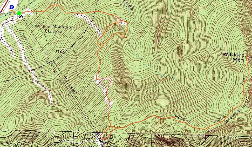
Trailheads, measurements, times, distances, and maps are all approximate and relative to the hike(s) as shown below.
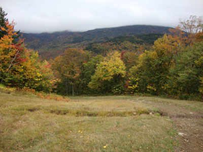
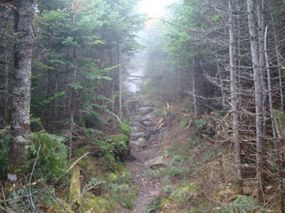
Looking down Lower Polecat on the way to Wildcat D
Route: Lower Polecat, Middle Polecat, Upper Polecat, Wildcat Ridge Trail, (Wildcat D), Wildcat Ridge Trail, (Wildcat C), Wildcat Ridge Trail, (Wildcat B), Wildcat Ridge Trail, (Wildcat A), Wildcat Ridge Trail, (Wildcat B), Wildcat Ridge Trail, (Wildcat C), Wildcat Ridge Trail, bushwhack, ski trails
With a mediocre forecast, we opted to head up to the Wildcats. While the morning started off with some views from the lower elevations (as well as nice foliage along the ski trails), we walked into the fog before reaching the top of the ski area.
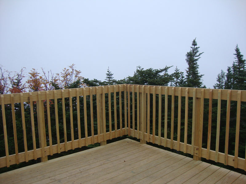
Atop Wildcat D, we had no views, but were pleased to see the new observation deck, as well as the view enhancing removal of the communications tower and nearby treetops.
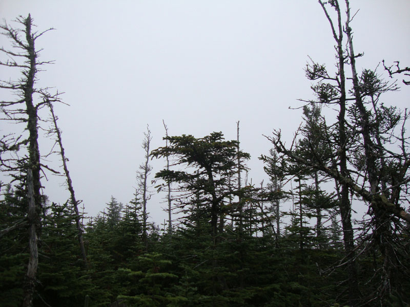
Heading across the ridge, the trail was extremely grown in in places, as well as muddy in others. Unfortunately, we were in the fog for the entire ridge walk, resulting in no views from the peaks.
The rain held off until the return trip, when it sprinkled a bit. In order to avoid reclimbing Wildcat D, we found a place partway up it to bushwhack over to the ski trails, saving perhaps 150 vertical feet and a few minutes of extra walking.
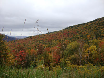
The descent down the ski trails was nice, thanks again to the yellows, oranges, and reds of the fall foliage.
| Hike Ratings |
|
Getting To Trailhead: |
Easy |
| Destination: |
Wildcat D |
|
Length: |
Moderate |
|
Steepness: |
Difficult |
|
Navigation: |
Easy |
|
Views: |
Minimal (due to weather) |
|
Crowds: |
Minimal |
| Destination: |
Wildcat C |
|
Length: |
Moderate |
|
Steepness: |
Difficult |
|
Navigation: |
Easy |
|
Views: |
Minimal (due to weather) |
|
Crowds: |
Minimal |
| Destination: |
Wildcat B |
|
Length: |
Moderate |
|
Steepness: |
Difficult |
|
Navigation: |
Easy |
|
Views: |
Minimal (due to weather) |
|
Crowds: |
Minimal |
| Destination: |
Wildcat A |
|
Length: |
Moderate |
|
Steepness: |
Difficult |
|
Navigation: |
Easy |
|
Views: |
Minimal (due to weather) |
|
Crowds: |
Minimal |
|
| Hike Stats |
|
Date Hiked: |
Sunday, September 26, 2010 |
| Hike Commenced: |
8:15 AM |
| Parking Elevation: |
1,960' |
| Destination: |
Wildcat D |
| Ascent Commenced: |
8:18 AM |
| Summit Reached: |
9:22 AM |
| Time Elapsed: |
01:04 |
| Trailhead Elevation: |
1,950' |
| Summit Elevation: |
4,062' |
| Vertical Gain: |
2,112' |
| Destination: |
Wildcat C |
| Ascent Commenced: |
9:26 AM |
| Summit Reached: |
10:08 AM |
| Time Elapsed: |
00:42 |
| Trailhead Elevation: |
4,070' |
| Summit Elevation: |
4,285' |
| Vertical Gain: |
585' |
| Destination: |
Wildcat B |
| Ascent Commenced: |
10:10 AM |
| Summit Reached: |
10:28 AM |
| Time Elapsed: |
00:25 |
| Trailhead Elevation: |
4,285' |
| Summit Elevation: |
4,305' |
| Vertical Gain: |
195' |
| Destination: |
Wildcat A |
| Ascent Commenced: |
10:28 AM |
| Summit Reached: |
10:40 AM |
| Time Elapsed: |
00:16 |
| Trailhead Elevation: |
4,305' |
| Summit Elevation: |
4,422' |
| Vertical Gain: |
182' |
|
|
| Hike Vertical Gain: |
3,559' |
|
The end (beginning) of Lower Polecat next to the summit chairlift/gondola
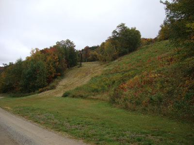
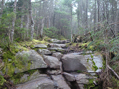
Foliage along the Polecat trail

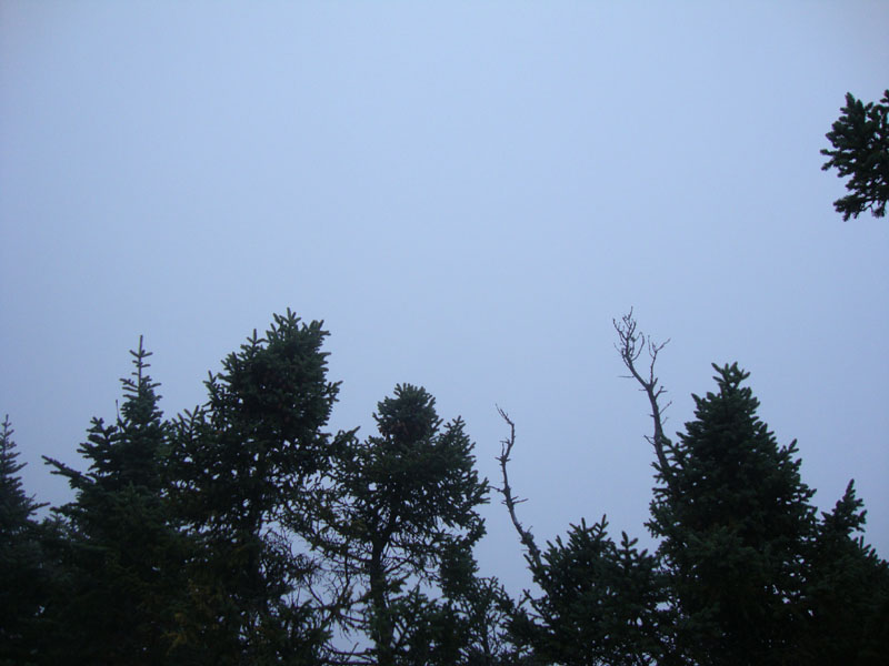
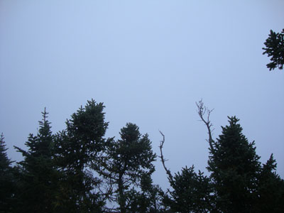
Wildcat D Fog
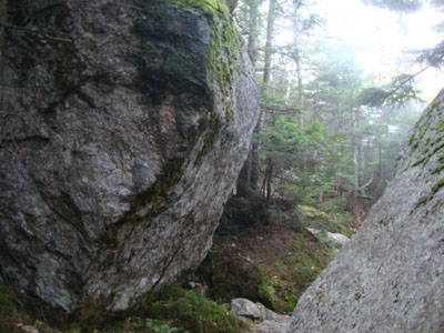
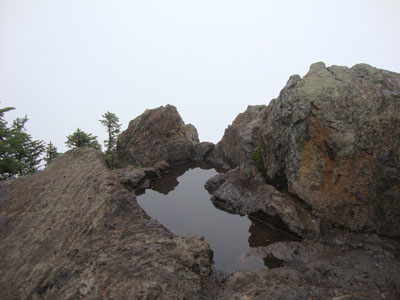
Wildcat Ridge Trail to Wildcat C
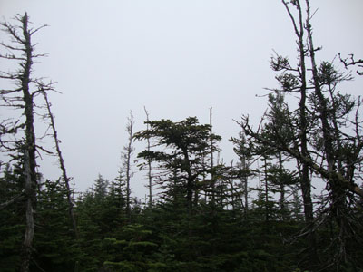
Wildcat C Fog
Wildcat Ridge Trail to Wildcat B
Wildcat B Fog
Wildcat Ridge Trail to Wildcat A
Wildcat A Fog
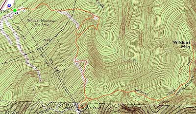

Directions to trailhead: Take Route 16 North from Jackson to the Wildcat Ski Area entrance. The Polecat ski trail is located next to the summit quad/gondola base terminal.
Back to Wildcat D Profile
Back to Wildcat C Profile
Back to Wildcat B Profile
Back to Wildcat A Profile
|