Home
States
Colorado
Connecticut
Maine
Massachusetts
New Hampshire
New York
Rhode Island
Utah
Vermont
View All
Lists
NE 4,000 Footers
NE 100 Highest
NH 4,000 Footers
NH 100 Highest
NH 52 With A View
NH Belknap Range
NH Ossipee 10
Links
Trail Conditions
Trip Log
Sunrises
Sunsets
About
|
Wildcat D, Wildcat C, Wildcat B, Wildcat A
Pinkham's Grant, NH, Bean's Grant, NH
Trailheads, measurements, times, distances, and maps are all approximate and relative to the hike(s) as shown below.
Looking down one of the ski trails on the way to Wildcat D
Route: Ski trails, Wildcat Ridge Trail, (Wildcat D), Wildcat Ridge Trail, (Wildcat C), Wildcat Ridge Trail, (Wildcat B), Wildcat Ridge Trail, (Wildcat A), Wildcat Ridge Trail, (Wildcat B), Wildcat Ridge Trail, (Wildcat C), Wildcat Ridge Trail, bushwhack, ski trails
Trails were wet and muddy in places from yesterday's rain but mild temperatures got rid of any snow or ice. Did the short bushwhack to avoid reclimbing D on the way back, as well as another experimental bushwhack toward the Thompson Brook Trail drainage (bad footing caused us to cancel going all the way into it).
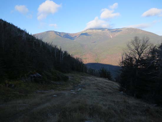
Nicer weather than expected with good views of the Presidentials in the morning.
| Hike Ratings |
|
Getting To Trailhead: |
Easy |
| Destination: |
Wildcat D |
|
Length: |
Moderate |
|
Steepness: |
Difficult |
|
Navigation: |
Easy |
|
Views: |
Excellent |
|
Crowds: |
Minimal |
| Destination: |
Wildcat C |
|
Length: |
Moderate |
|
Steepness: |
Difficult |
|
Navigation: |
Easy |
|
Views: |
Excellent |
|
Crowds: |
Minimal |
| Destination: |
Wildcat B |
|
Length: |
Moderate |
|
Steepness: |
Difficult |
|
Navigation: |
Easy |
|
Views: |
Moderate |
|
Crowds: |
Minimal |
| Destination: |
Wildcat A |
|
Length: |
Moderate |
|
Steepness: |
Difficult |
|
Navigation: |
Easy |
|
Views: |
Excellent |
|
Crowds: |
Moderate |
|
| Hike Stats |
|
Date Hiked: |
Saturday, November 2, 2013 |
| Parking Elevation: |
1,960' |
| Destination: |
Wildcat D |
| Time Elapsed: |
01:26 |
| Trailhead Elevation: |
1,950' |
| Summit Elevation: |
4,062' |
| Vertical Gain: |
2,112' |
| Destination: |
Wildcat C |
| Time Elapsed: |
00:54 |
| Trailhead Elevation: |
4,070' |
| Summit Elevation: |
4,285' |
| Vertical Gain: |
585' |
| Destination: |
Wildcat B |
| Time Elapsed: |
00:20 |
| Trailhead Elevation: |
4,285' |
| Summit Elevation: |
4,305' |
| Vertical Gain: |
195' |
| Destination: |
Wildcat A |
| Time Elapsed: |
00:12 |
| Trailhead Elevation: |
4,305' |
| Summit Elevation: |
4,422' |
| Vertical Gain: |
182' |
|
|
| Time Elapsed: |
07:02 |
| Hike Vertical Gain: |
3,559' |
|

The bottom of the ski area

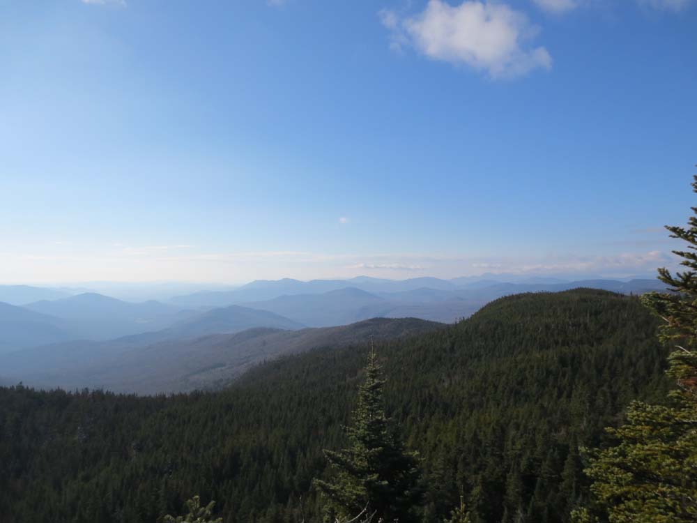
Looking southwest from near the summit of Wildcat D
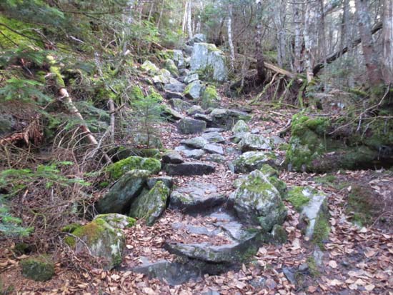
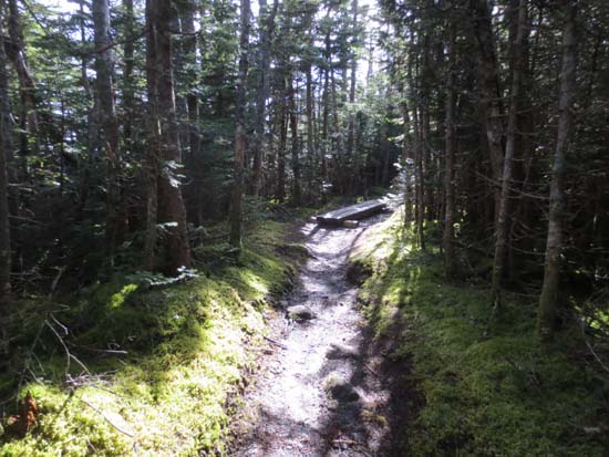
Wildcat Ridge Trail to Wildcat C
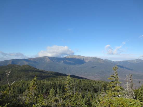
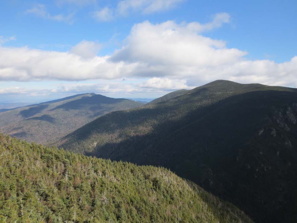
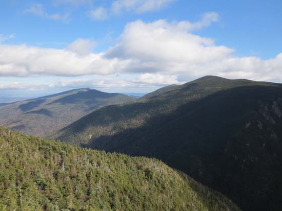
Mt. Washington as seen below the summit of Wildcat C
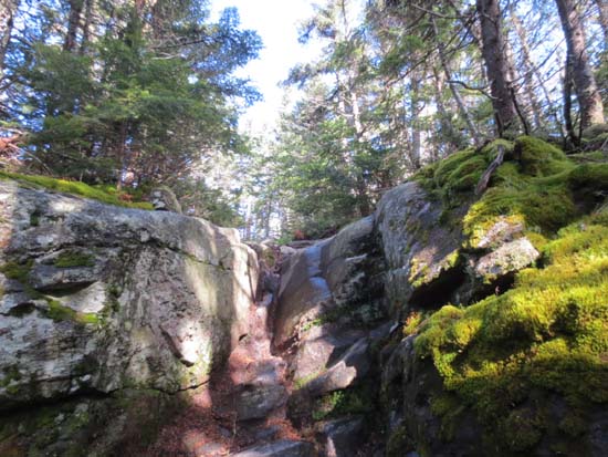
Wildcat Ridge Trail to Wildcat B
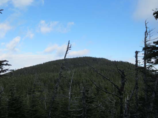
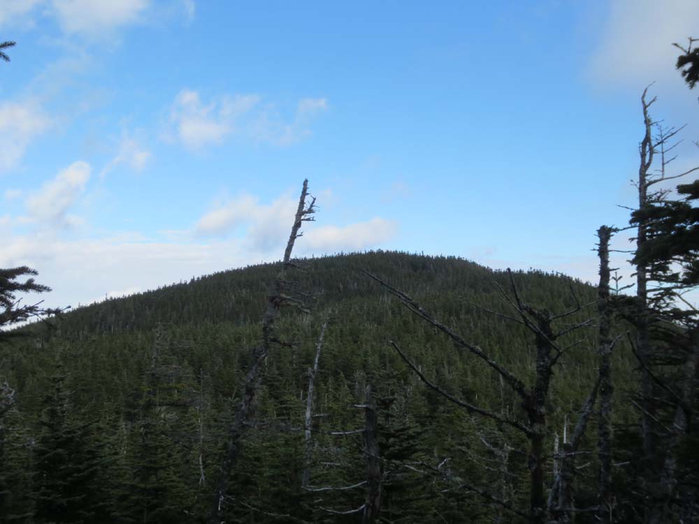
Wildcat A as seen from near the summit of Wildcat B
Wildcat Ridge Trail to Wildcat A
The Carters as seen from the Wildcat A vista
Directions to trailhead: Take Route 16 North from Jackson to the Wildcat Ski Area entrance. The Polecat ski trail is located next to the summit quad/gondola base terminal.
Back to Wildcat D Profile
Back to Wildcat C Profile
Back to Wildcat B Profile
Back to Wildcat A Profile
|