Home
States
Colorado
Connecticut
Maine
Massachusetts
New Hampshire
New York
Rhode Island
Utah
Vermont
View All
Lists
NE 4,000 Footers
NE 100 Highest
NH 4,000 Footers
NH 100 Highest
NH 52 With A View
NH Belknap Range
NH Ossipee 10
Links
Trail Conditions
Trip Log
Sunrises
Sunsets
About
|
Styles Peak, Peru Peak, Mt. Tabor
Peru, VT, Mount Tabor, VT
Trailheads, measurements, times, distances, and maps are all approximate and relative to the hike(s) as shown below.
Winter and summer on the Long Trail to Styles Peak
Route: Long Trail, Griffith Lake Trail, bushwhack, FR 58, FR 21
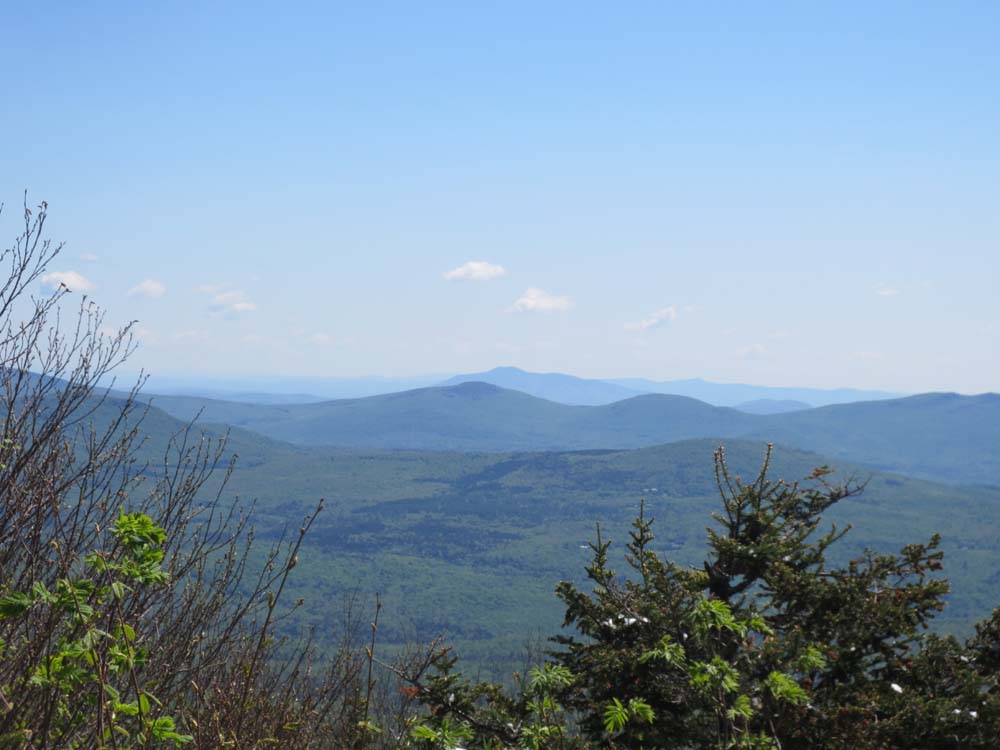
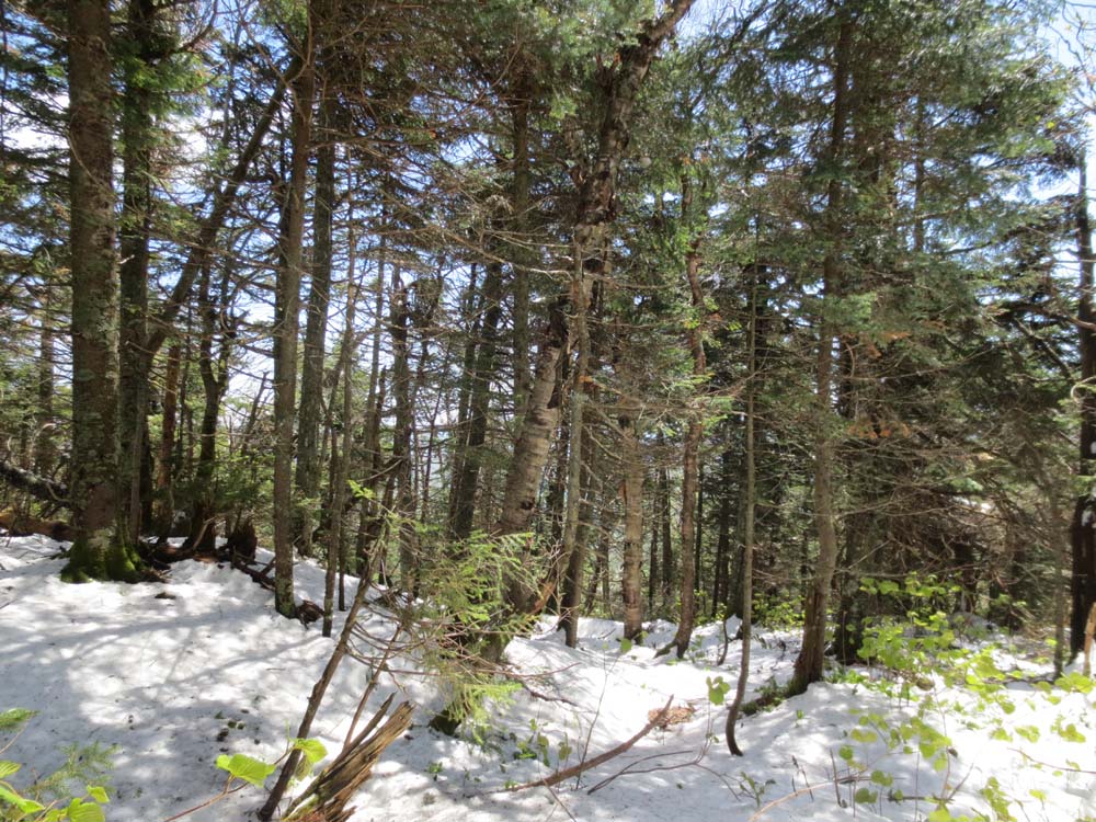
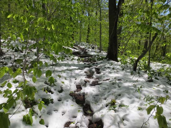
Headed to southwest Vermont to hopefully avoid the new snow, but we hit it at probably 2,500 feet. Conditions were sloppy with snow depths generally around 1-3 inches, but perhaps deeper in a few shaded areas. Lots of mud and running water in thawed areas. Decent directional views from Styles Peak, but we never found the alleged view spur on or near Peru Peak.
Muddy around the Griffith Lake area as well.
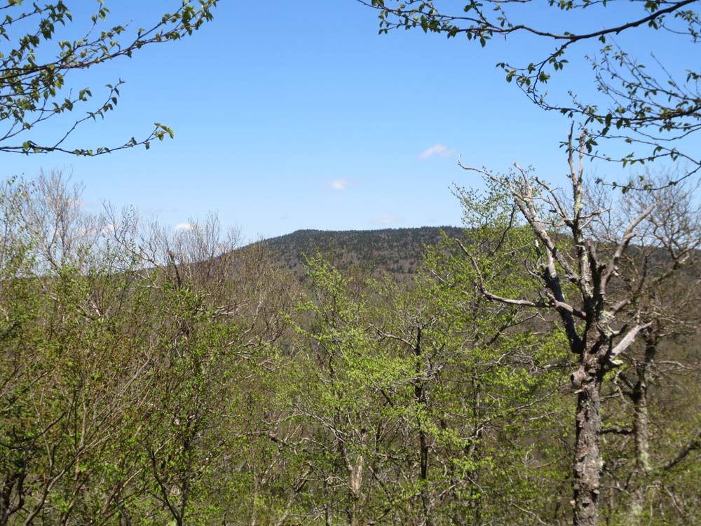
Open wood bushwhack up to Mt. Tabor from Griffith Lake Trail/snowmobile corridor. A few peekaboo views near the recognized highpoint.
FR58 wasn't unpleasant for walking back to finish the loop - nice viewpoint part way down, looking at Equinox and points south.
| Hike Ratings |
|
Getting To Trailhead: |
Easy |
| Destination: |
Styles Peak |
|
Length: |
Moderate |
|
Steepness: |
Moderate |
|
Navigation: |
Easy |
|
Views: |
Excellent |
|
Crowds: |
Minimal |
| Destination: |
Peru Peak |
|
Length: |
Moderate |
|
Steepness: |
Moderate |
|
Navigation: |
Easy |
|
Views: |
Excellent |
|
Crowds: |
Minimal |
| Destination: |
Peru Peak |
|
Length: |
Moderate |
|
Steepness: |
Difficult |
|
Navigation: |
Difficult |
|
Views: |
Excellent |
|
Crowds: |
Minimal |
|
| Hike Stats |
|
Date Hiked: |
Sunday, May 27, 2013 |
| Parking Elevation: |
2,450' |
| Destination: |
Styles Peak |
| Time Elapsed: |
00:46 |
| Trailhead Elevation: |
2,446' |
| Summit Elevation: |
3,394' |
| Distance: |
1.6 miles |
| Vertical Gain: |
948' |
| Destination: |
Peru Peak |
| Time Elapsed: |
01:03 |
| Trailhead Elevation: |
3,394' |
| Summit Elevation: |
3,429' |
| Distance: |
1.7 miles |
| Vertical Gain: |
349' |
| Destination: |
Mt. Tabor |
| Time Elapsed: |
02:40 |
| Trailhead Elevation: |
3,429' |
| Summit Elevation: |
3,043' |
| Vertical Gain: |
553' |
|
|
| Hike Time Elapsed: |
06:16 |
| Hike Vertical Gain: |
2,200' |
|
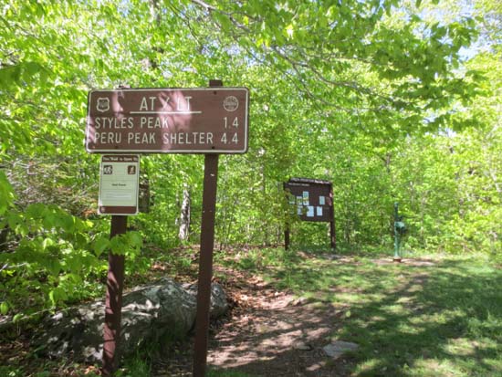
The Long Trail northbound trailhead on Mad Tom Notch Road
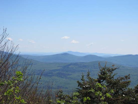
Looking toward Ascutney from Styles Peak
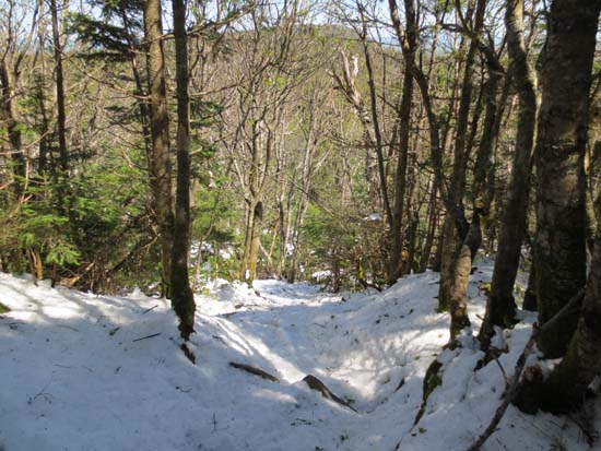
The Long Trail on the way to Peru Peak
A lack of views found on Peru Peak
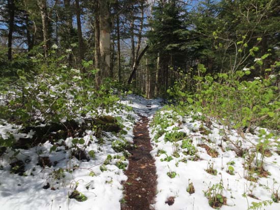
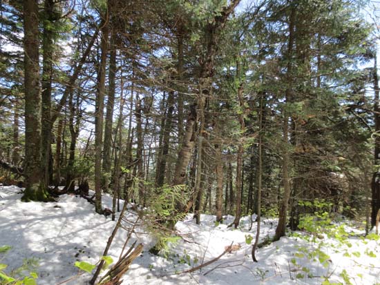
The Long Trail on the way to Mt. Tabor
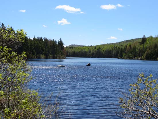
Griffith Lake
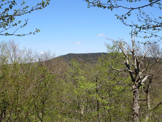
Peru Peak as seen from Mt. Tabor
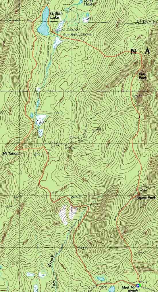

Directions to trailhead: Take Route 11 west from Londonderry, then take a right onto Main Street in Peru. Take a right onto Hapgood Pond Road. Bear left onto North Road (FR 79). Take a left onto Mad Notch Road (FR 21). The Long Trail parking lot will be just above the Logn Trail crossing, on the left at the height of land.
Back to Styles Peak Profile
Back to Peru Peak Profile
Back to Mt. Tabor Profile
|